
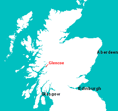
The map above shows the (very) approximate position of the Glencoe Hotel, headquarters of the actual brains(?) behind the running of the 70 Wild Miles event on the day. For those who would like a little higher scale map, there is one to be found by clicking on this link to the excellent U.K. Multimap site, where you can zoom in and out to your heart's content.
The Cycle.
You
may notice that there is no picture of the cycle route here. This is
not accidental! We have no desire to scare off any prospective entrants
before they begin.
As has been stated the cycle course is
about 47 miles of public road, unfortunately this road can, at times,
be quite busy with fairly fast moving traffic. The good news is that
it has good visibility for almost all the length of our course giving
vehicles plenty time to see the cyclists ahead and pick safe places
to pass - the bad news is that the same open nature of the road means
that if we are unlucky enough to have bad weather on the day the times
for the section can be quite unpredictable.

Thanks to Gordon Gooch we are now able to show the profile of the cycle course (above), the good news is that from start to finish it's 917ft. downhill - the bad news is those climbs, especially the long drag up before the descent to Tyndrum. Incidently, the readout for Gordon's cycle also provides details of temperature, time etc. - but as this run was undertaken in mid-December with Gordon giving his imitation of Nanook of the north (see picture below), we thought that these details might be slightly irrelevant!
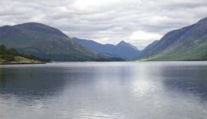
The Canoe.
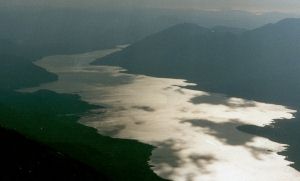
Loch Etive is the site of the canoe section of the event, a beautiful (on a clear day) sea loch which lies, not surprisingly, in Glen Etive in the western highlands of Scotland. This is a tidal water so it is advisable to arrange for a suitable vessel for the conditions likely to be met here.
The Run.
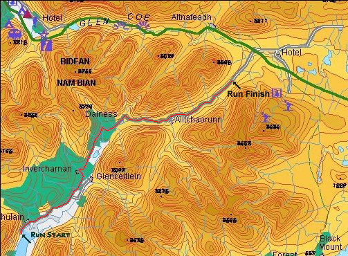
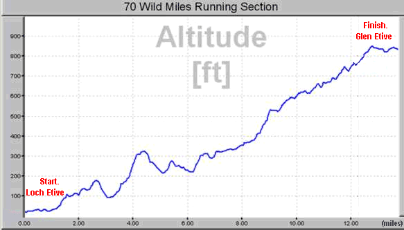
The above map shows the course of the final run section of the event, what it can't really show is the rise and fall of the single track road that makes up the course. To give an idea of that, one of our more “intrepid” (translation = masochistic!) organisers decided to go up to the course in deepest December and ride the course using a “trick bike computer” to obtain the course profile shown below.
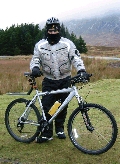 The
cyclist in question is pictured here, modeling the latest design for winter
touring in Glencoe - this is one more reason why the 70 Wild Miles event
is held in June!
The
cyclist in question is pictured here, modeling the latest design for winter
touring in Glencoe - this is one more reason why the 70 Wild Miles event
is held in June!
I don't think I could do better than to end with a direct quote
from the message which accompanied the profile.
“In deepest winter this week and armed with my trick bike computer I f*£$$*^g toiled through icy headwinds, snow and rain to bring you the attached!! (For reasons I will not go into the first attempt at the cycle had to be aborted after 22 miles just after the 6 mile climb to Tyndrum had been completed in a near blizzard!!!!) ”
A sincere vote of thanks is due for devotion, above and beyond the call of duty!